
Context
Population census are not available for every country. Methods and year of census are different from a country to another. The very definition of a city itself isn’t based on a consensus (continuous built-up area, administrative division…). The simple use of administrative divisions to characterize urban areas would produce overestimated areas to cover for the customer.
View video and Discover OneAtlas
Project description
1st step: open sources data search (global population censuses, largest urban areas coordinates, geospatial urban areas database). Data search includes a methodologic watch (search of scientific articles about urban areas using open sources data).
2nd step: data qualification and experiments. Evaluation of raw and refined data potential in order to create a database of the 2000 largest urban areas. The available data are ranked to be included in the database.
3rd step: new data production from all the selected data in the second step.
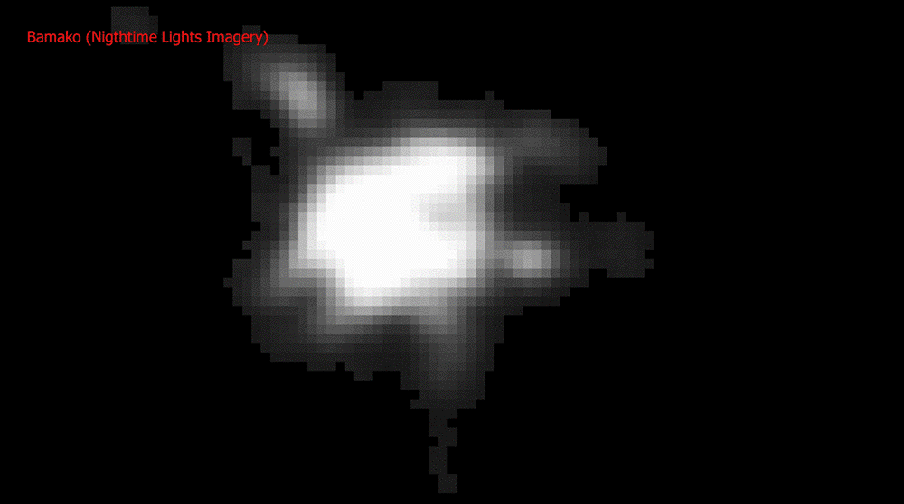
Urban areas are extracted from vectorisation of Nigthtime Lights Imagery (NASA) and GlobCover (ESA) data.
Population data, mainly from UN data, are integrated in urban areas.
