Context
Reactive and automatic production and update of 2D and 3D data is necessary to know the physical configuration of the terrain. The production or update of vector data in a very short time is constrained by the availability of data and the production operators. In this context, a process has been conceptualized and implemented targeting an effective update of cartographic data in less than 3 days.
A first part of this R&D work was conducted with our partners Magellium, Geofit and SIRS within a framework contract for the French MOD.
Geo212 keeps on working of the subject of detection of anthropized areas, self-financed internal R&D to perfect the process.
Project description
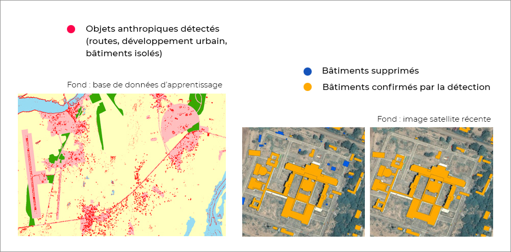
The developed process is based on an existing vector database to be updated, and on a recent high or very high resolution satellite image. A phase of information decorrelation (Minimum Noise Fraction), and structure analysis (variance) precedes a guided thresholding of the image and leads to the detection of urbanized areas. It is then the comparison with the existing database that allows to quantify and target the required updates.
On the basis of the highlighted detections, our algorithms proceed to a reconstruction of the database always up to date and then to the highlighting of new unmapped detections.
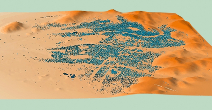
The processing chain has been tested with different satellite images (from 2.5 to 10 meters of resolution) and on different areas of the globe in Africa and the Middle East.