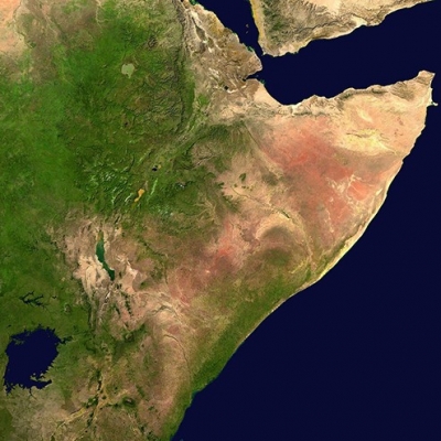
Geographic studies
Geo212 produces geographic studies, designed to answer our customers’ questions. These studies provide an up-to-date knowledge of a geographic area priori to any action (whether to map an area or to manage an event).
Our expertise covers a large range of thematics:
- physical geography: topography, hydrography, climate, natural disasters, land use,
- economy: transportation, industry, energy, oil & gas infrastructures, agriculture, tourism,
- security: military features, police, border controls,
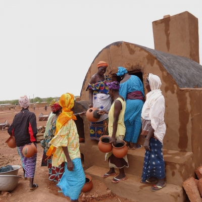
- human geography: religions, ethnic group, languages, refugees and IDP…
All these characteristics are put together in perspective of the customer’s question, with all confidentiality, to bring them elements of knowledge and decision support.
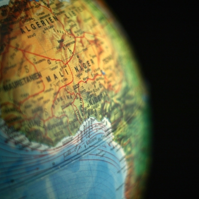
Geo212 has produced more than 300 studies, on various extents and at different scales (from a small village to a vast African area for example), on various continents (mainly Africa and Middle East, but also Europe and Asia) thanks to a solid methodology which can be adapted to any area in the world.
Data production and analysis
Geospatial data are essential nowadays in a lot range of domains. Understanding and mastering these data and their quality is an important concern. Geo212 provides services to answer these issues:
- Data search services, from commercial, institutional or open data sources: Geo212 implements their 20 years of experience and web sources capitalization, and their knowledge of sectors to supply the best sources to answer our customers’ needs. Data are validated and packaged to be ready to use in GIS.
- Data qualification services (customers’ or open sources data): using homemade tools to cross information and data and statistics analysis, comparing with the most relevant satellite imagery.
- Qualification of data production services: points of interest in selected areas (from various thematics: transportation, security features, etc.) using multi-sources cross-reference data and information, and validation on satellite imagery.
- Database update or completing services.
Traceability information are systematically provided.
Decision support
Decision support products and services are developed by cross-reference sources or domains (for example, geography and meteorology) to suit customers' needs. For example:
- Road trafficability maps: travel time, access constraints, crossing points, danger zones…
- Areas of refuge mapping for displaced populations in case of natural disasters,
- High probabilities helicopter landing sites mapping,
- Morphological and urban density zoning, in order to choose the best and most relevant satellite imagery, or to estimate production costs,
- High probabilities artisanal gold mining sites mapping,
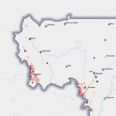
- Evolution of OSM data analysis services,
- Geomorphologic studies (in partnership with a PhD geologist): topography detailed analysis, high probabilities hiding places,
- Change detection: monitoring and reporting of changes in an area of interest by frequent satellite revisits. Changes in the characteristics or shapes of features, object counts and mix of types, or non-normal levels of activity can be delivered by up to daily revisits, and frequent updates.
- Geographic data obsolescence mapping (vector or imagery data) using homemade aging algorithms in correlation with local area knowledge and event monitoring on areas of interest.
Monitoring
- Events and projects evolution on selected geographic areas, at various scales available and on various thematics.
- Market update monitoring
- Technology intelligence monitoring
- Market and product monitoring
Consulting services
Various consulting services can be provided:
- Trainings: GIS, OSINT (open sources intelligence), GEOSINT (geointelligence), qualification or production database…
- AMOI / AMOA: for all your projects which include geospatial data or geographic elements (specifications analysis or writing, respond to tenders, project management…)
- Market research: earth observation and geospatial data offers and products.
©OpenStreetMap services
OSM is a free geographic database of the world and a collaborative project. It is a major and essential source of geographic data. Nonetheless, using OSM data requires caution and tools to fully operate its wealth. Geo212 has developed a range of tools to optimize and customize OSM data use:
- Up-to-date version download,
- Adaption and cleaning of the data to fit the user database model,
- OSM data qualification on an area of interest / comparison with other sources,
- Data completing or updating if necessary,
- Database filling evolution monitoring.